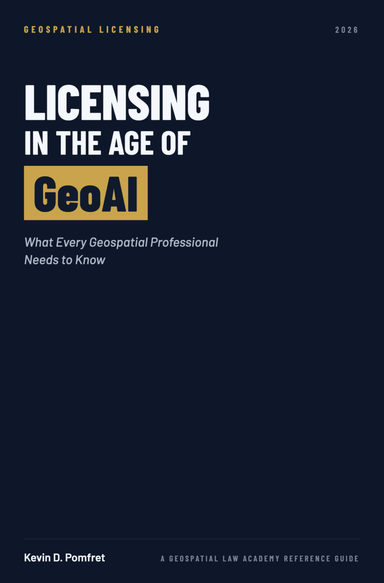
Licensing in the Age of GeoAI
Geospatial data is almost never sold — it is licensed. This guide explains what those licenses actually permit, who carries the risk, and how to review one before your product ships.
Read the Opening Pages
The preface and introduction, in full. Turn the pages by dragging a corner, clicking the arrows, or using your keyboard.
Trouble viewing? Open the preview in a new tab.
Four Parts, Built to Be Used as a Reference
You do not need to read it start to finish. Consult the relevant part when reviewing a license, negotiating terms, or assessing risk on a specific project.
Part I — Foundations
Why geospatial information is licensed rather than sold, and the key principles that underpin every licensing arrangement.
Part II — Key Legal Frameworks
The intellectual property, contract law, and regulatory considerations that shape how geospatial data can be licensed.
Part III — Core License Terms
The provisions you will meet in most agreements, from scope of rights through liability and indemnification.
Part IV — Practical Guidance
How to approach and review a license in the real world, with appendices for quick reference on key terms.
Written for the People Using GeoAI Today
Not a substitute for legal advice, and not an attempt to turn technical teams into lawyers — it is the shared framework that makes the conversation with counsel productive.
The GIS Analyst
Whose CTO has asked whether the company's new model is "legally safe to ship."
The Product Manager
Preparing a procurement response to an agency asking pointed questions about training data provenance.
The Data Lead
Raising money and suddenly facing diligence questions the company has never had to answer before.
Licensing in the Age of GeoAI: What Every Geospatial Professional Needs to Know
Geospatial information sits at the center of modern decision-making — navigation, insurance models, digital twins, smart cities, climate analysis, national security. Yet it is rarely sold outright. It is almost always licensed, and a license does far more than grant permission to use data: it defines what can be done, what is prohibited, who bears risk, and who is responsible when something goes wrong.
As geospatial data becomes embedded in AI systems, those agreements grow more complex and the disputes more consequential. This reference guide gives non-lawyers the framework to read a license, spot the terms that matter, and raise the right questions before a product launches or a contract is signed.
- EPUB and PDF editions — $39.99
- Delivered by email immediately after purchase
- By Kevin D. Pomfret · A Geospatial Law Academy Reference Guide